ABOUT THE VILLAGE OF PHILO, OHIO
The village of Philo, in Muskingum county, is a few miles below Zanesville on the Muskingum river.
James Taylor built a dam on the river near the site of Philo about 1830 to operate a saw mill. In 1833 he laid out a village and called it Taylorsville. There was another Taylorsville in Ohio so the name had to be changed at least for the post office. So the post office was named Philo in honor of Philo Buckingham whose family owned large tracts of land along the river.
Taylorsville as a name for the town and Philo as a name for the post office persisted until 1950, when residents dropped the name Taylorsville.
From 1924 to 1975, the Philo Power Plant generated electric power. In 1957 Unit 6 at the Philo Power plant was the first commercial supercritical steam-electric generating unit in the world.


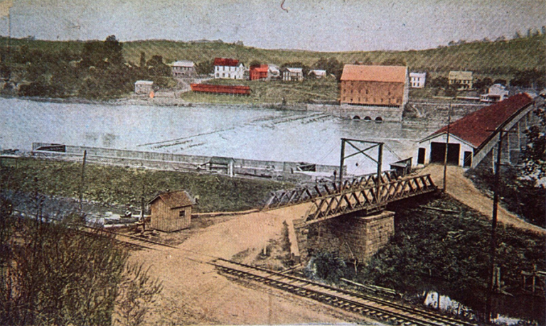
“Old Mill and Dam,” Muskingum River, Duncan Falls, Ohio”
A view of the Old Mill and Dam on the Muskingum River at Duncan Falls, Ohio. Also featured in the picture is the Philo, Ohio Covered Bridge, built January 13, 1875, 798 feet long over the Muskingum River, rebuilt 1884 on higher level, damaged by wind in 1908 and 2 spans replaced with iron, washed out in 1913 flood. Dam built 1836 and Flour Mill in 1838.
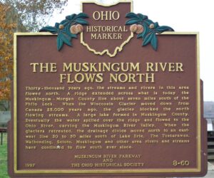
The Muskingum River Flows North
Thirty-thousand years ago, the streams and rivers in this area flowed north. A ridge extended across what is today the Muskingum-Morgan County line about seven miles south of the Philo Lock. When the Wisconsin Glacier moved down from Canada 25,000 years ago, the glacier blocked the north flowing streams.
A large lake formed in Muskingum County. Eventually the water spilled over the ridge and flowed to the Ohio River, carving the Muskingum River Valley.
When the glaciers retreated, the drainage divide moved north to an east-west line 30 to 50 miles south of Lake Erie. The Tuscarawas, Walhonding, Scioto, Muskingum and other area rivers and streams have continued to flow south ever since.
Erected 1997 by The Muskingum River Parkway and The Ohio Historical Society. (Marker Number 8-60.)
